2001 Press Photo Historical Maps Detroit - RRX04095
$19.99
Every photo in our collection is an original vintage print from a newspaper or news service archive, not a digital image. Please see our FAQ for more information.
Description
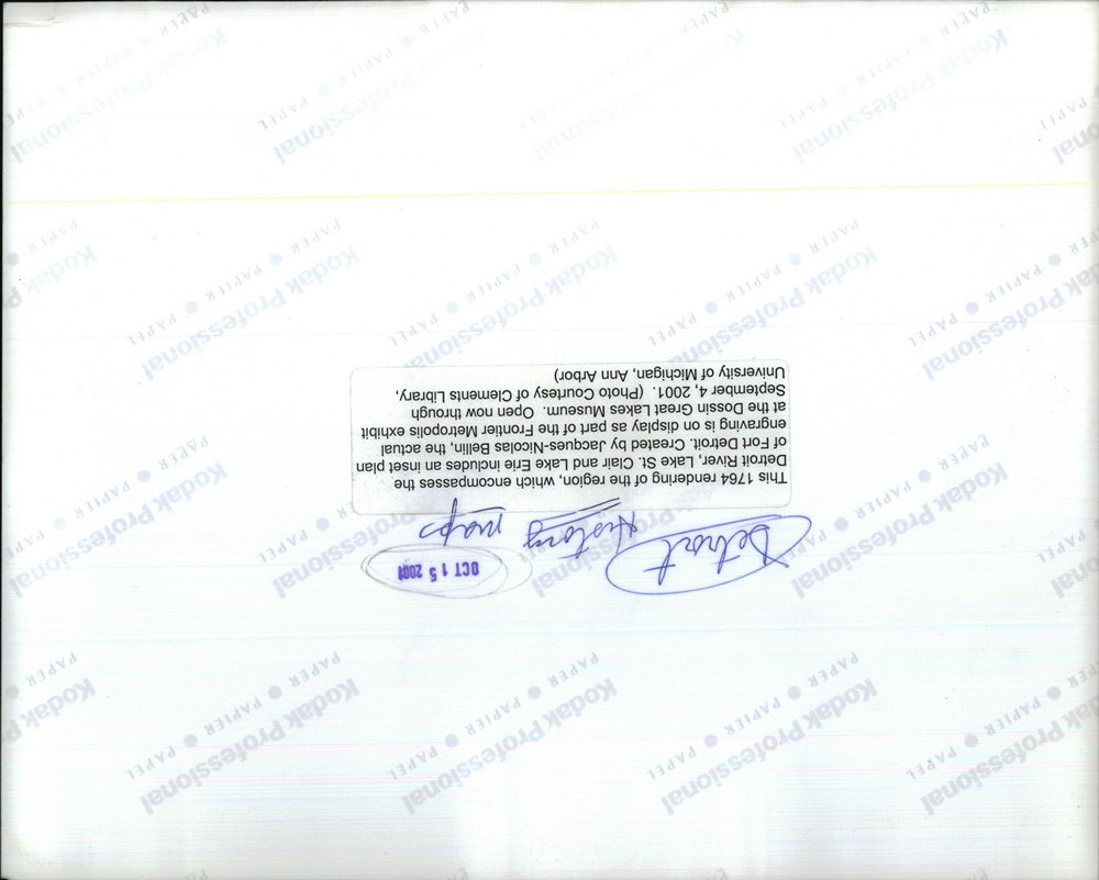
This 1764 rendering of the region, which encompasses the Detroit River, lake St. Clair and Lake Erie includes an inset plan of Fort Detroit. Created b