Give a gift, get a gift! Receive a bonus gift card for any $25+ gift card purchase through Dec. 31!

This section doesn’t currently include any content. Add content to this section using the sidebar.

Image caption appears here

Add your deal, information or promotional text

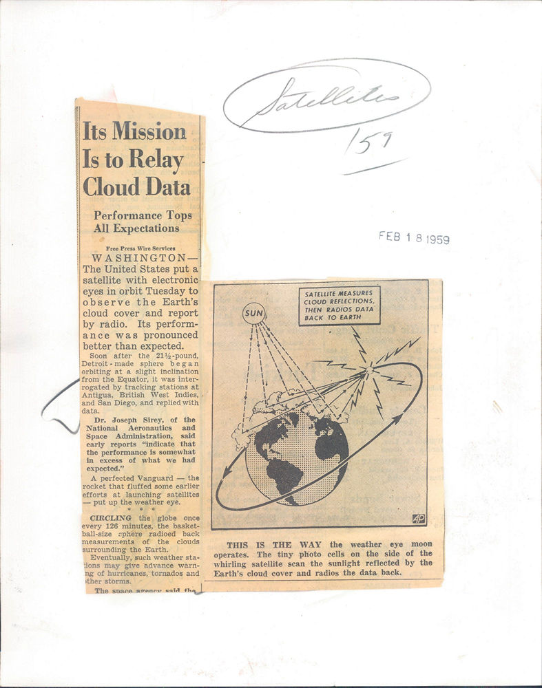
1959 Press Photo Satellite measures cloud cover

Every photo in our collection is an original vintage print from a newspaper or news service archive, not a digital image. Please see our FAQ for more information.

Description
Caption: HOW SATELLITE GATHERS CLOUD DATA--This is how Vanguard II, a satellite launched today from Cape Canaveral, Fla., with a mechanical weather observer device, makes cloud readings as it swings around the earth. The drawing, by AP Artist John Carlton, illustrates how the tiny photo cell scans the sun light reflected by the earth's cloud cover and radios the data back to tracking stations. The sketch, not to scale for practical reasons, is based on information released in Washington today by the National Aeronautics and Space Administration.

The front and back of this photograph are pictured below:


Add to Wishlist

Search